Hard
Route
9,88 km
1110 m
02:41 h
Starting Point
Gemeindeamt Imsterberg
End Point
Venetalm
Description
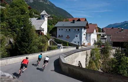
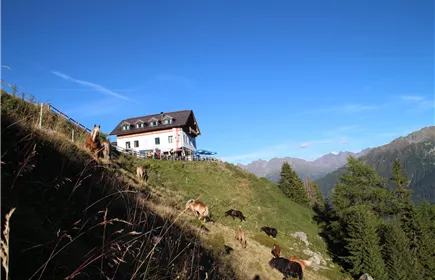
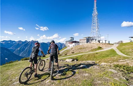
With a gradient of between 12 - 20 % and a difficult route, this demanding tour requires some skill and fitness.The route starts at the Imsterberg municipal office. The route initially runs along the tarmac road through the hamlet of Höfle and then leads onto a steep forest path. The route winds its way up to approx. 1,800 metres through shady woodland and green alpine meadows. The last section runs over the Venetboden until you reach the Venetalm. Once you reach your destination, the panoramic views of the Gurgltal, Inntal and Pitztal valleys are well worth the effort! The way back can be done either on the same route or on the red connecting route Wenns-Venetalm (MTB 640) into the Pitztal.