Closed
A11 - Bodenalm
Cross-country ski trail
Quiet and little-frequented cross-country ski trail.
Easy
6,90 km
45 m
Easy
Route
6,90 km
45 m
1050 m
Starting Point
Bodenstraße, Gießenbach near Scharnitz
End Point
Bodenstraße, Gießenbach near Scharnitz
Description
Trail access:
Bodenstraße in Gießenbach (accessible from Scharnitz via trail A12 Scharnitz).
Alternatively, access is possible from Seefeld via trail B9 Triendlsäge at Lehenwald.
Trail character:
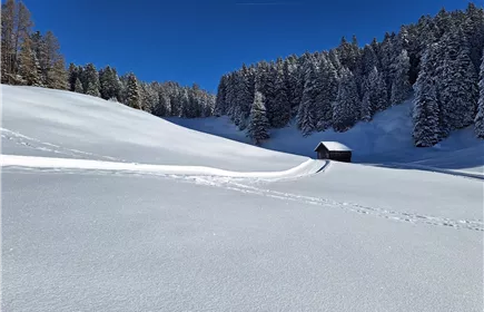
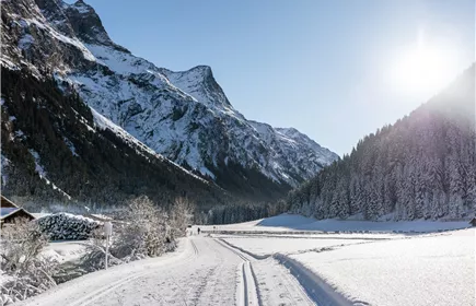
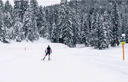
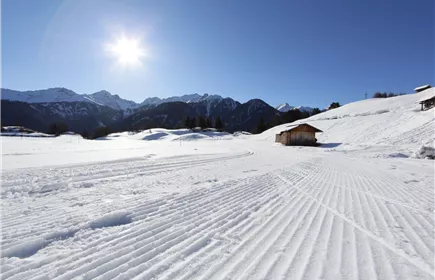
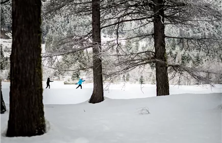
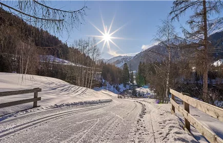
The Loipe A11 Bodenalm is an easy loop suitable for both classic technique and skating. The trail is approximately 6.9 kilometers long and features 45 meters of elevation gain. It starts at Bodenstraße in Gießenbach and runs mostly flat across meadows and through forest sections towards Seefeld, passing the Bodenalm (not managed in winter) and back again. From Scharnitz, you can easily reach the starting point via Loipe A12 Scharnitz, which leads from the sports field to Gießenbach. Coming from Seefeld, you reach the A11 via Loipe B9 Triendlsäge and join the loop at Lehenwald. Note: As the trail is located in a shady hollow, trail conditions can change. Icy sections or deep ruts may occur. Please adjust your skiing style accordingly.
Connecting trails:
A12 Scharnitz and B9 Triendlsäge
Bodenstraße in Gießenbach (accessible from Scharnitz via trail A12 Scharnitz).
Alternatively, access is possible from Seefeld via trail B9 Triendlsäge at Lehenwald.
Trail character:
The Loipe A11 Bodenalm is an easy loop suitable for both classic technique and skating. The trail is approximately 6.9 kilometers long and features 45 meters of elevation gain. It starts at Bodenstraße in Gießenbach and runs mostly flat across meadows and through forest sections towards Seefeld, passing the Bodenalm (not managed in winter) and back again. From Scharnitz, you can easily reach the starting point via Loipe A12 Scharnitz, which leads from the sports field to Gießenbach. Coming from Seefeld, you reach the A11 via Loipe B9 Triendlsäge and join the loop at Lehenwald. Note: As the trail is located in a shady hollow, trail conditions can change. Icy sections or deep ruts may occur. Please adjust your skiing style accordingly.
Connecting trails:
A12 Scharnitz and B9 Triendlsäge
Best Season
Jan
Feb
Mar
Apr
May
Jun
Jul
Aug
Sep
Oct
Nov
Dec
Elevation Profile & Characteristics
Skill Level
Endurance
Amenities & Features
Barrier-free/adaptive cross-country skiing
Skating
Classic
Circular hike
Subject to charge
Public Transport
Take the train to Gießenbach station (request stop) near Scharnitz, from where it is an approx. 5-minute walk to the starting point at Bodenstraße.
All real-time connections can be found in the route planner.
All real-time connections can be found in the route planner.
Parking
From Innsbruck via the A12 Inntalautobahn to the Seefeld/Garmisch exit and continue over the Zirlerberg to Gießenbach (just before Scharnitz). From the direction of Landeck/Reschen via the A12 to the Telfs Ost exit, then via Mösern and Seefeld to Gießenbach (just before Scharnitz). From Garmisch via Mittenwald to Gießenbach (just after Scharnitz).
In Gießenbach, turn at the intersection near the wine shop Vino Zorzi. Just before the train station, you will find the parking lots P5 and P6 "Eppzirl". From there, it is about a 5-minute walk to the starting point at Bodenstraße.
In Gießenbach, turn at the intersection near the wine shop Vino Zorzi. Just before the train station, you will find the parking lots P5 and P6 "Eppzirl". From there, it is about a 5-minute walk to the starting point at Bodenstraße.
Author's Tip
An overview of the entire cross-country ski trail network, including current trail conditions and useful information, can be found in the cross-country ski trail report.