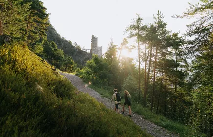
Fließ - Hochgallmigg - Niedergallmigg - Fließ
Hiking & mountain tour
Leisure and Recreational Hiking
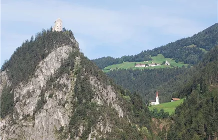
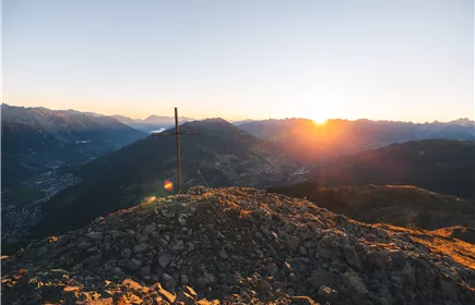
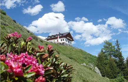
This circular hike leads through both sides of the valley in the municipality of Fliess with wonderful views of the surrounding mountains.
Medium
15,90 km
850 m
06:45 h
Medium
Route
15,90 km
850 m
06:45 h
1438 m
Starting Point
Fließ
End Point
Fließ
Description
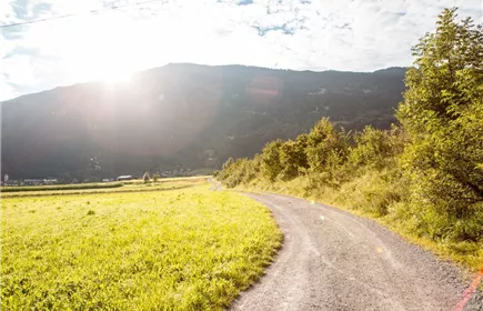
The hike begins in Fliess at the municipal office and leads down to Urgen. It then follows a path up to Hochgallmigg. Walk along the forest road towards Niedergallmigg and follow the path in Fassern down to the Niedergallmigg sawmill. Here you cross the Inn and hike back to the village centre of Fliess on a path.
Best Season
Jan
Feb
Mar
Apr
May
Jun
Jul
Aug
Sep
Oct
Nov
Dec
Elevation Profile & Characteristics
Skill Level
Endurance
Amenities & Features
Circular hike
Public Transport
From the Landeck-Zams train station, take line 240 to Fließ. Please check the SCHEDULE.
Parking
All the way to the parking garage at the Fließ Community Center.
Community Center Fließ Parking Garage