Nature Park Round

Cycling tour

Road bike tour

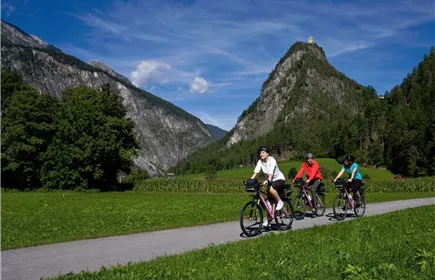
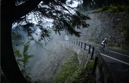
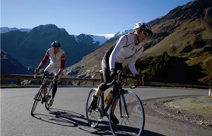
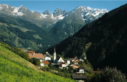
Beautiful round trip through the nature park Kaunergrat with fantastic views of the surrounding mountains.

Medium

59,00 km

950 m

03:30 h

Medium

Route

59,00 km

950 m

03:30 h

1581 m

Starting Point

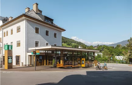
Tourismusinfo Landeck

End Point

Tourismusinfo Landeck

Description

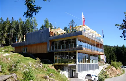
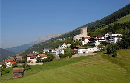
Today's tour takes us from Landeck along the Inn cycle path to Imst and on into the Pitztal valley, where we turn off in Wenns in the direction of Piller Höhe. At the Gachen Blick, the highest point of the tour (1,581 m), a fantastic view awaits us. After a little refreshment at the Kaunergrat Nature Park House, we cycle back to Landeck via Kauns and Prutz.
Best Season

Jan

Feb

Mar

Apr

May

Jun

Jul

Aug

Sep

Oct

Nov

Dec

Elevation Profile & Characteristics

Skill Level

Endurance

Amenities & Features

Circular hike

Path Conditions
Asphalt
Refreshments & infrastructure

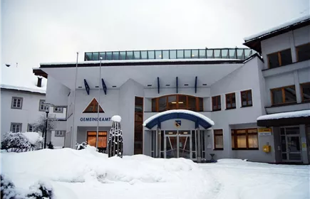
Gemeindeamt Zams Winter 2012 Rupert Gapp Web.jpg+43 5442 62288

Public institution

Zams

Municipal Office Zams

Open - closes in 25 Minutes

Informationsbüro +43544265600

Tourist information

WiFi

Fließ

Information office Landeck

Open - closes in 55 Minutes

Museum Galerie Schloss Landeck+43544263202

+13

Landeck

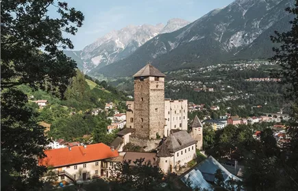
Museum Galerie Schloss Landeck

Closed - opens on 12/11, 01:00 PM

Naturparkhaus Kaunergrat 01+43.5449.6304

+6

Fließ

Nature Park House Kaunergrat

Closed - opens on 12/25, 10:00 AM

Naturparkhaus Kaunergrat 01+43 5412 20160

Restaurant

Fließ

Restaurant Gachenblick

Closed - opens on 12/25, 10:30 AM

Similar Tours

tirolwest_genussbiken_2010_danielzangerl_print (2 von 21).jpg
World Heritage Round

69,50 km

03:45 h

843 m

324 m

Medium

Rennrad Hahntennjoch 01
Lechtal-Runde Hahntennjoch

135,00 km

06:00 h

1894 m

2920 m

_18578_Foto_TirolWerbung Andreas Kern.jpg
Kaunertal Glacier

105,00 km

2750 m

2150 m

Fließ DSC_5432.JPG
Nature Park Round

48,00 km

1565 m

1000 m

Medium

Kauns 01
Roppen - Piller - Kauns

72,00 km

1575 m

1455 m

Medium

20130914-KT_Alpentraum2013_event-1566.jpg
Roppen - Jerzens - Piller - Flow

68,00 km

1560 m

1528 m

Medium