Section 2: Kronburg - Mils
Deeply engraved into the rock, indelibly in memory.
Medium
6,60 km
71 m
02:00 h
Medium
Route
6,60 km
71 m
270 m
02:00 h
963 m
Starting Point
Imsterberg municipal office
End Point
Kronburg
Description
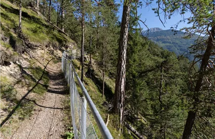
After a refreshment stop at the Sisters of Mercy at the Kronburg restaurant, the trail passes the impressive Kronburg Tobel gorge. Follow the path further to Obsaurs. The little church of St. Vigil with its Roman tower invites you to linger. Following the original route of the Way of St. James, the trail continues via Ried to Saurs, leads through the settlement and over the Inn bridge to the village centre of Mils bei Imst.
Best Season
Jan
Feb
Mar
Apr
May
Jun
Jul
Aug
Sep
Oct
Nov
Dec
Elevation Profile & Characteristics
Skill Level
Endurance
Amenities & Features
Family hike
Amenities
Clothing appropriate to the weather, sufficient water
Path Conditions
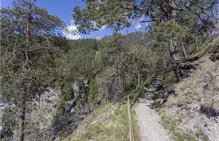
Mainly gravel and forest floor, towards Mils a few metres on asphalt