Via Claudia Augusta from Kronburg to Ponlatz Bridge
Leisure and Recreational Hiking
Themed walks
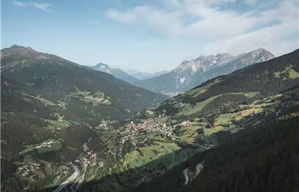
This section of the historic Roman road Via Claudia Augusta is a very special experience with magnificent views of the TirolWest holiday region and the surrounding mountains.
Medium
16,50 km
690 m
05:00 h
Medium
Route
16,50 km
690 m
760 m
05:00 h
1073 m
Starting Point
Kronburg Pilgrimage Church
End Point
Pontlatz Bridge
Description
The Via Claudia Augusta follows in the footsteps of the ancient Romans from Donauwörth to Ostiglia. Travelling this historic route under your own steam is strenuous - both 2000 years ago and today. But it is worth discovering the evidence of this historic lifeline.
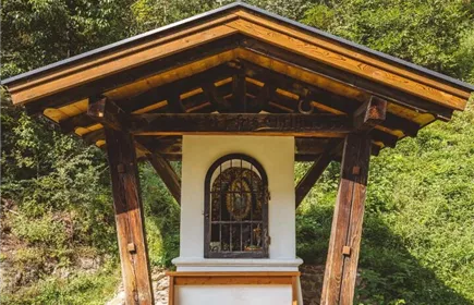
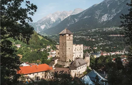
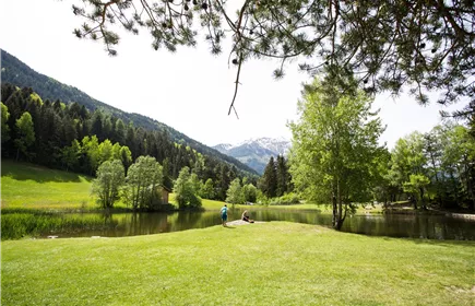
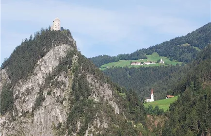
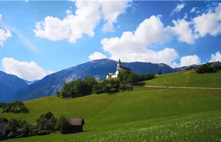
Starting from the Kronburg pilgrimage church, you hike over to Rifenal and on via the Trams with the Tramser Weiher pond down to Landeck Castle. From there, continue along the forest road to the junction with the narrower path towards Fließer Platte, where you can discover the wagon tracks of the Romans. Continue along the sunny slopes of Fließ, past the beautiful, double-towered St. Barbara's Church into the centre of Fließ with the archaeology museum and the Via Claudia documentation centre. Leave Fließ in a southerly direction and walk down to the Pontlatzbrücke bridge. The Pontlatzbrücke was the scene of bloody battles between Tyrolean infantry troops, Bavarians and the French in 1703 and 1809.
Starting from the Kronburg pilgrimage church, you hike over to Rifenal and on via the Trams with the Tramser Weiher pond down to Landeck Castle. From there, continue along the forest road to the junction with the narrower path towards Fließer Platte, where you can discover the wagon tracks of the Romans. Continue along the sunny slopes of Fließ, past the beautiful, double-towered St. Barbara's Church into the centre of Fließ with the archaeology museum and the Via Claudia documentation centre. Leave Fließ in a southerly direction and walk down to the Pontlatzbrücke bridge. The Pontlatzbrücke was the scene of bloody battles between Tyrolean infantry troops, Bavarians and the French in 1703 and 1809.
Best Season
Jan
Feb
Mar
Apr
May
Jun
Jul
Aug
Sep
Oct
Nov
Dec
Elevation Profile & Characteristics
Skill Level
Endurance
Path Conditions
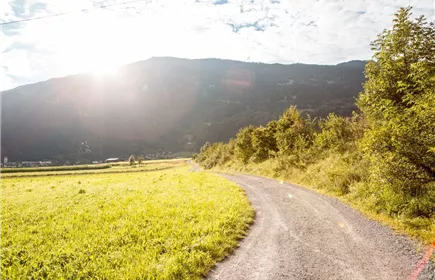
Road, forest trail, footpath, meadow path
Impressions