Waalweg Stanz - Grins
Echte Wege
Family Hiking
Hiking & mountain tour
Themed walks
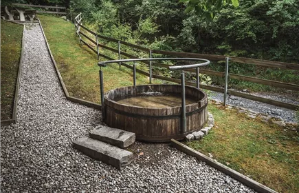
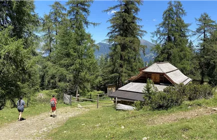
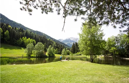
This tour is called after an ancient irrigation system - the so-called "Waalen" - and runs on a gently undulating narrow path through the forest to above Grins and back over the forest path.
Medium
6,80 km
205 m
02:15 h
Medium
Route
6,80 km
205 m
02:15 h
1240 m
Starting Point
Stanz
End Point
Stanz
Description
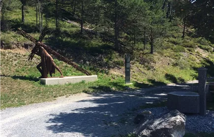
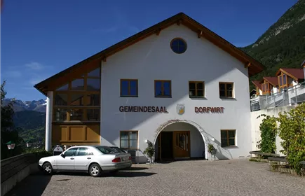
From the car park in the centre of Stanz, head east and turn left uphill after about 60 metres. After a further 130 metres, keep left in a westerly direction until you reach the forest. After approx. 450 metres, you reach the sculpture ‘Der Kreuz Tragende’ (by Christian Moschen) and follow the signs for ‘Waalweg’ until you arrive above Grins after approx. 3 km. If you follow the signs to the east, after one kilometre you will reach the junction to the forest path. Follow this back to Stanz to the starting point.
Best Season
Jan
Feb
Mar
Apr
May
Jun
Jul
Aug
Sep
Oct
Nov
Dec
Elevation Profile & Characteristics
Skill Level
Endurance
Amenities & Features
Circular hike
Path Conditions
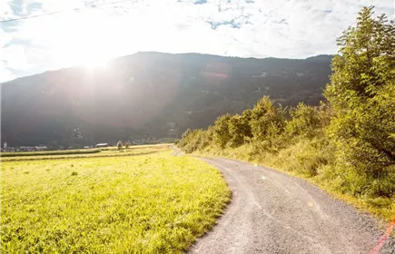
Forest path, asphalt, gravel
Public Transport
From
the Landeck-Zams train station, take Line 6 to Grins (Außerdorf stop). Please check
the SCHEDULE.
the Landeck-Zams train station, take Line 6 to Grins (Außerdorf stop). Please check
the SCHEDULE.
Parking
All the way to the parking lot at the sports field in Grins.
Parking lot at the sports field in Grins.
Parking lot at the sports field in Grins.