Delightful route Stanzer Zwetschke
Echte Wege
Family Hiking
guided hike
Leisure and Recreational Hiking
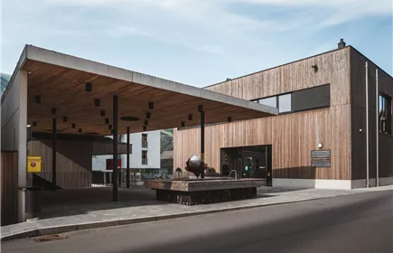
The sheltered sunny location, the dry and warm climate, skillful irrigation and the diligence of the locals were in Stanz a plum paradise. Of the 160 households in the community, 54 exercise the distillery law. There, too, grows the well-known "Stanzer Zwetschke", which makes the village one of the numerous pleasure regions in Austria.
Medium
5,90 km
160 m
02:00 h
Medium
Route
5,90 km
160 m
120 m
02:00 h
1038 m
Starting Point
Grins Municipal Office
End Point
Stanz Village Square
Description
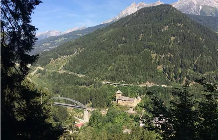
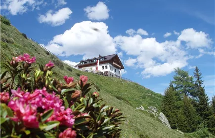
The hike begins with the public bus to Grins. Through the village of Grins, you first cross the Roman bridge to the sports field, take the forest path to Wasseralb and continue towards Stanz. You follow this path, which turns into a forest path, and reach the ‘Kreuztragenden’, where a bench and a drinking fountain invite you to linger. After a break for a drink, you can hike on to the Schrofenstein ruins if you wish and if there is enough time. There you can enjoy the breathtaking view. On your return to Stanz, you can visit one of the distilleries for a tasting (tasting lasts approx. ½ hour). Families with children can stop off at the Dorfwirt in Stanz instead of the schnapps tasting. Together you take the bus back to Landeck at 17:00 (17:15 Landeck centre).
INFORMATION
The guided tour and the Postbus are free for all guests with the TirolWest Card!
Meeting point: Landeck-Zams railway station 11:50 am (departure 12:02 pm)
Starting point of the hike: Grins
Destination hike: Stanz
Dates & registration: the dates and the direct link for registration can be found in the event calendar
Registration deadline: the day before until 16:00
Price for...
INFORMATION
The guided tour and the Postbus are free for all guests with the TirolWest Card!
Meeting point: Landeck-Zams railway station 11:50 am (departure 12:02 pm)
Starting point of the hike: Grins
Destination hike: Stanz
Dates & registration: the dates and the direct link for registration can be found in the event calendar
Registration deadline: the day before until 16:00
Price for...
Best Season
Jan
Feb
Mar
Apr
May
Jun
Jul
Aug
Sep
Oct
Nov
Dec
Elevation Profile & Characteristics
Skill Level
Endurance
Path Conditions
Forest trail, asphalt, gravel
Public Transport
From the Landeck-Zams train station, take Line 6 to Grins (Dorf stop). Please check the SCHEDULE.
Impressions