Flath Alm - Ascherhütte - Fisser Jöchl
Trailrunning
Hard
35,20 km
2450 m
13:45 h
Hard
Route
35,20 km
2450 m
13:45 h
2680 m
Starting Point
Flath Alm
End Point
Flath Alm
Important Information
Description
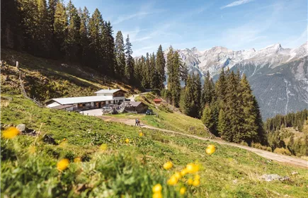
The adventure starts in the valley at around 800 metres above sea level. After an easy warm-up on runnable forest roads, the long climb towards Flath Alm begins. The lower section follows well-maintained forest and alpine tracks, allowing you to settle into a steady rhythm and prepare for the demanding day ahead.
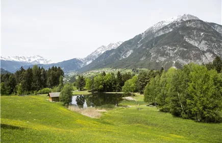
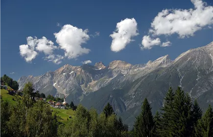
As you gain elevation, the scenery gradually opens up. Beyond the alpine pastures, the route becomes more technical and the views increasingly spectacular. The peaks of the Samnaun Alps rise dramatically around you while panoramic views over the Upper Inn Valley unfold with every step.
One of the first major highlights is Ascherhütte, beautifully situated in a stunning alpine setting. It’s an ideal place to pause, refuel, and soak in the mountain atmosphere. For trail runners, this section offers a perfect mix of flowing trails, technical passages, and breathtaking scenery.
From the hut onwards, the terrain becomes increasingly rugged and alpine. The climb towards Fisser Jöchl demands both endurance and determination. Rocky mountain trails, exposed alpine terrain, and dramatic landscapes characterize this section. Reaching the highest point of the route at nearly 2,700 metres rewards you with an unforgettable 360-degree panorama of the surrounding Tyrolean mountains.
After...
Best Season
Jan
Feb
Mar
Apr
May
Jun
Jul
Aug
Sep
Oct
Nov
Dec
Elevation Profile & Characteristics
Skill Level
Endurance
Amenities & Features
Circular hike