Landeck - Imst S4T
Trailrunning
The Imst–Landeck Trail is a fantastic adventure for runners who enjoy covering longer distances while exploring the scenic variety of the Tyrolean Oberland. The combination of runnable trails, diverse landscapes, and breathtaking views makes this route an ideal day outing for ambitious trail runners.
Hard
26,50 km
1880 m
10:15 h
Hard
Route
26,50 km
1880 m
1770 m
10:15 h
2512 m
Starting Point
train station Imst
End Point
Landeck Parish Church
Important Information
route is not signposted. The TirolWest holiday region accepts no liability
whatsoever.
Description
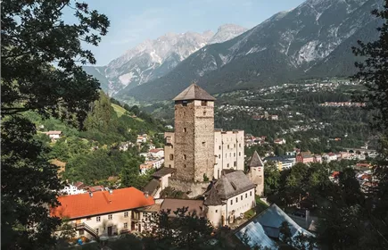
This route connects two of the best-known towns in the Tyrolean Oberland and offers a diverse trail running experience between Imst and Landeck. Shortly after leaving Imst, the urban surroundings give way to nature, and the adventure begins.
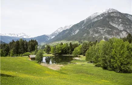
The opening kilometres follow pleasant forest and meadow trails, providing an ideal warm-up before the route gradually gains elevation. Running high above the Inn Valley, the trail repeatedly rewards runners with spectacular views of the surrounding mountains, villages, and alpine landscapes.
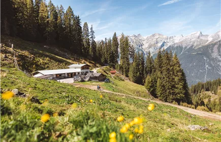
One of the most enjoyable aspects of this route is the variety of terrain. Runnable forest roads alternate with narrow singletracks, while rolling climbs keep the legs working without ever feeling overwhelming. The constant change of rhythm makes the run engaging from start to finish.
Along the way, runners pass through traditional Tyrolean landscapes characterized by historic farmhouses, charming hamlets, and scenic mountain meadows. The combination of natural beauty, cultural heritage, and athletic challenge gives this route its unique appeal.
As the route approaches Landeck, the views become even more impressive. Expansive panoramas of the Inn Valley and the surrounding mountain ranges accompany the final kilometres. Fast trails and smooth running sections make it easy to increase the pace...
Best Season
Jan
Feb
Mar
Apr
May
Jun
Jul
Aug
Sep
Oct
Nov
Dec
Elevation Profile & Characteristics
Skill Level
Endurance
Amenities
Your gear should therefore be designed with safety, sudden weather changes, and prolonged exertion in mind. Trail running vest, water, snacks (gels, bars, dried fruit, salt tablets in hot weather, etc.), lightweight rain jacket (waterproof, windproof, packable), cap or headband, thin gloves (spring/fall), GPS watch (with GPX track), cell phone (fully charged) with offline map, mini first-aid kit, emergency blanket, headlamp, trail running poles, thin insulated jacket, arm warmers.