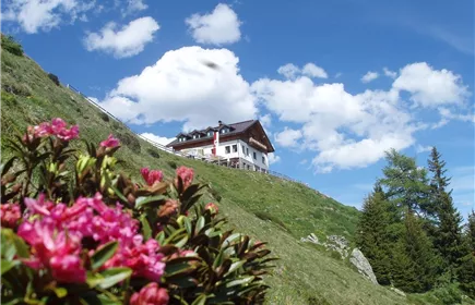
Zams - Zammer Alm / Schihütte Zams via Wiesensteig
Hiking & mountain tour
Leisure and Recreational Hiking
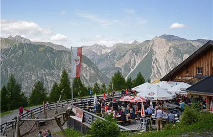
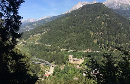
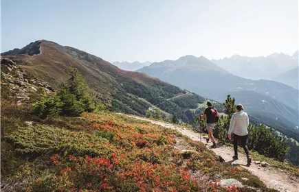
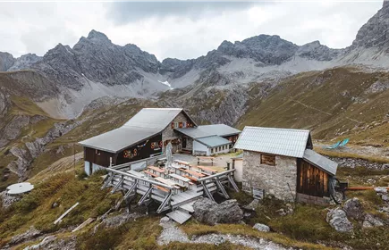
From Zams, you hike along this section of the E5 European long-distance hiking trail through forest and flower meadows, partly along the ski piste, to the Zammer Alm and the Schihütte Zams.
Medium
5,90 km
988 m
06:45 h
Medium
Route
5,90 km
988 m
998 m
06:45 h
1756 m
Starting Point
Venetbahn Valley Station
End Point
Zammer Alm / Schihütte Zams
Description
From the Venetbahn valley station, you first walk along the avenue of Japanese blood plums and then follow the signs through the forest up to Anreit. In the village, follow the forest path to the water basin. Follow the path through forest and meadows, sometimes steeply uphill to the Zammer Alm and Zammer Schihütte.
Best Season
Jan
Feb
Mar
Apr
May
Jun
Jul
Aug
Sep
Oct
Nov
Dec
Elevation Profile & Characteristics
Skill Level
Endurance
Path Conditions
Gravel roads, alpine pastures, and meadow trails
Public Transport
From the Landeck-Zams train station, take Line 1 to the Venetbahn stop. Check the SCHEDULE.